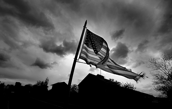
It’s a few day’s away, but a good chance of an offshore wind event is being forecast for Tuesday-Wednesday of next week (Oct. 27, 28). What does this mean? Go fly a kite. Go to the beach. Enjoy the weather.
In their area forecast discussions, The National Weather Service is watching the progress of models depicting a low pressure system barreling in to the Great Basin, which will push in to the Four Corners region next week. The pressure gradients will tighten and the wind will turn to the north east. It’s a typical fall event for California, but the first real strong wind event -without rain.
The rain that fell during the last two weeks has moistened everything up. With the cloudless skies the last several days, a green-up has occurred just about everywhere. Fire danger should be low for Sonoma County, but be aware that these winds dry everything out quickly. At least one forecast model has put the Bay Area region back in to the “Dry” category for next week from the “Moist” reading the past two weeks.
Two years ago today, reporter Guy Kovner and I were in San Diego documenting the destruction caused by blow torch Santa Ana winds. Red Flag warnings may very well be posted for Los Angeles south if the strong event pans out. Remember, October is a dangerous month in California.
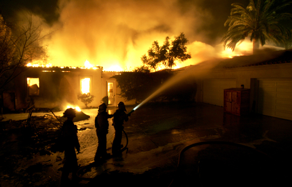 San Diego firefighters keep flames from other homes as they work to contain the Witch Fire, October 23, 2007 in Rancho Santa Fe. (By Kent Porter / The Press Democrat)